model name / number:antique water power map, frame
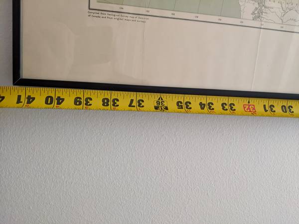
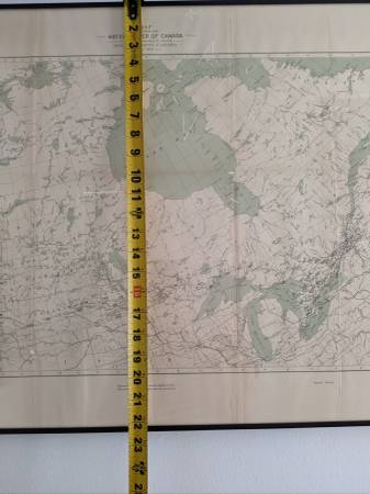
size / dimensions:41.5 x 22.5 inches
QR Code Link to This Post
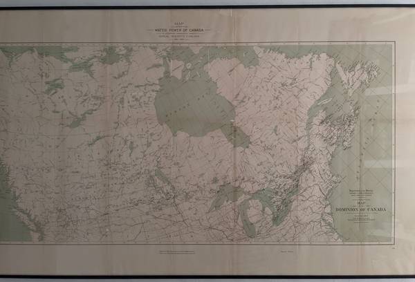
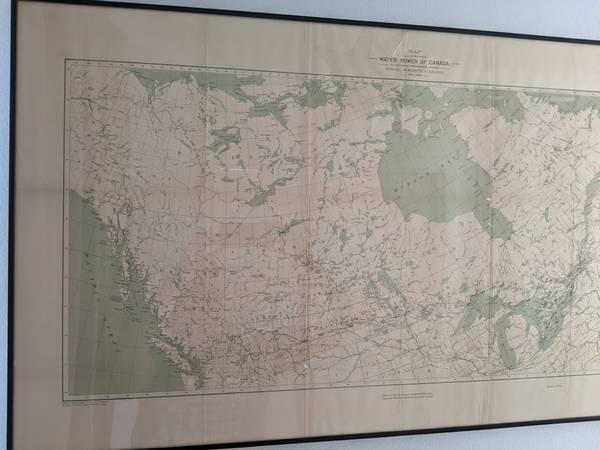
Antique map, original from May 1899
Royal society, Canada
"MAP ILLUSTRATING THE WATER POWER OF CANADA", SECOND EDITION
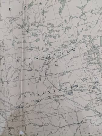
Rare map showing both geographic features and plans for how hydropower could be used to expand the industrial power of Canada during a period of expansion.
Beautiful colors of black, cream, sage green, and that patina of age.
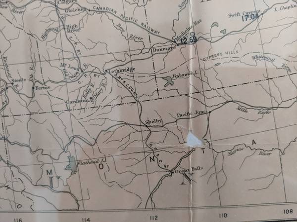
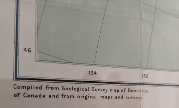
Some small holes where material broke away at creases, see photos for details.
Creases and holes have been stabilized with rice paper glue with mulberry paper, all are professional conservation-grade materials.
Frame is black metal with UV-filtering acrylic, so this map is both lightweight and protected.
Acid free backing.
One person can easily carry and lift this framed art.
Size: 41.5 inches wide x 22.5 inches tall (at outside of frame.
Cash or PayPal
Message with any questions or for more pictures
Tags: Canada, hydropower, water resources, antique map, old, vintage map, Manitoba, Saskatchewan, Ontario, Quebec, Montreal, Toronto, Washington map, Hudson bay, dominion of Canada, northwest territory, Yukon territory, old map, history, educational gift, American history, north america, maps, water power, early industrial development, Christmas gift, vintage art, hydropower, green electricity, renewable energy